• 4:11 PM | Flood Advisory Oklahoma County until 8:15 PM

    Weather Trackerr TV Alert

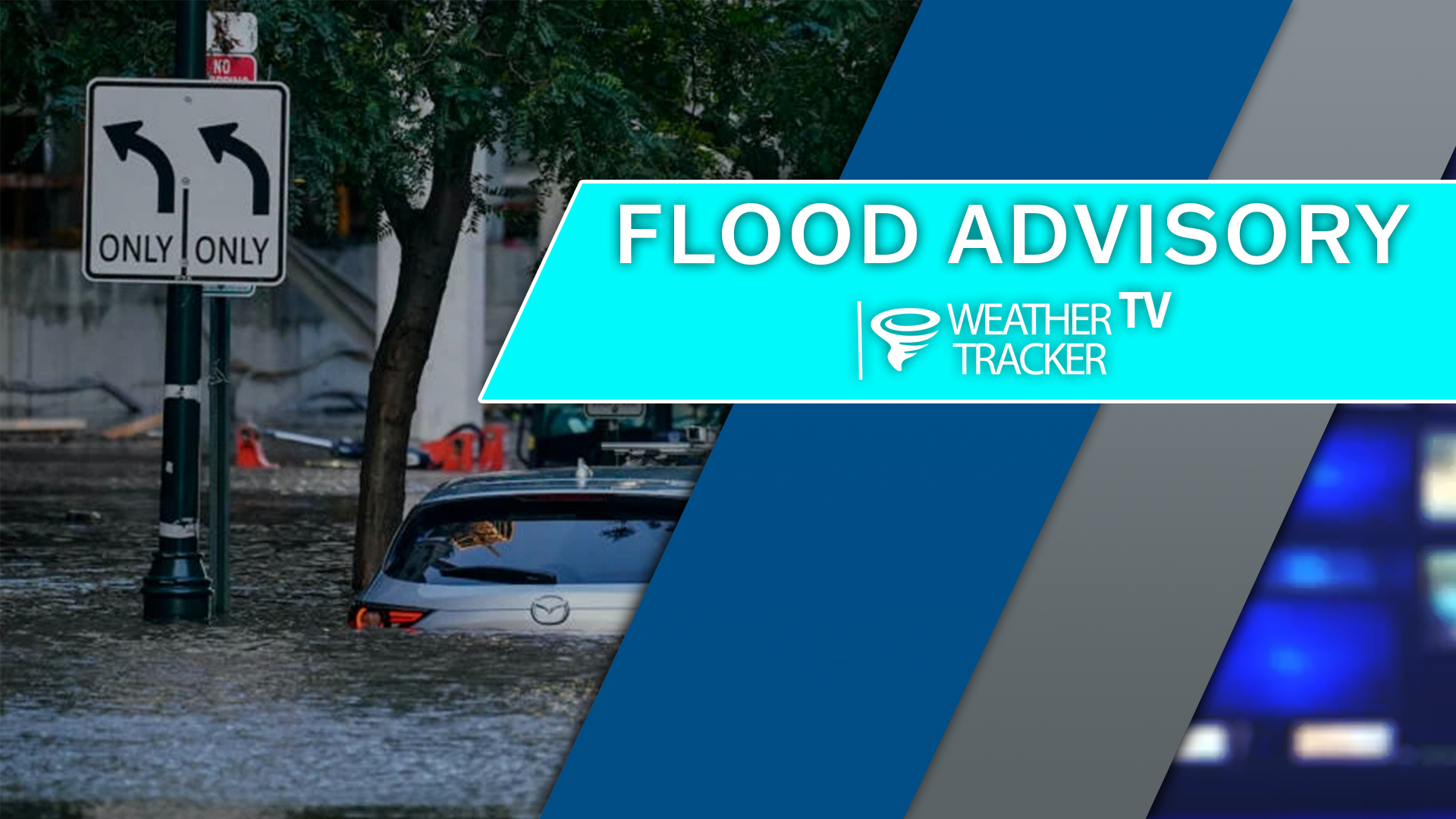
    From William Cole: A Flood Advisory has been issued for Oklahoma County in the OKC Metro until 8:15 PM. Ponding on the roadways and localized street flooding is likely.

    Remember if you see water across a roadway do not drive through it. Turn Around Don’t Drown.

    Stay with William Cole and Weather Tracker TV Oklahoma for continuing coverage, online, on our app and on TV. Let’s stay safe together.

    Your Support Helps

  • NOW UPDATE | Monday 4:06 PM Grady & McClain Counties

    Weather Tracker TV Alert

    From William Cole: A strong T-Storm will impact portions of east central Grady and west central McClain Counties through 430 PM

    At 406 PM , Live Radar was tracking a strong T-Storm near Middleberg, moving northeast at 10 mph.

    Wind Gusts Up To 50 Mph And Penny Size Hail. Gusty Winds Could Knock Down Tree Limbs And Blow Around Unsecured Objects. Minor Damage To Outdoor Objects Is Possible.

    Stay with William Cole and Weather Tracker TV Oklahoma for continuing coverage, online, on our app and on TV. Let’s stay safe together.

    Your Support Helps

  • NOW UPDATE | Monday 4:03 PM Cotton County

    Weather Tracker TV Alert

    From William Cole: A strong T-Storm will impact portions of central Cotton County through 430 PM

    At 403 PM , Live Radar was tracking a strong T-Storm near Cookietown, moving northeast at 10 mph.

    Wind Gusts Up To 50 Mph And Penny Size Hail. Gusty Winds Could Knock Down Tree Limbs And Blow Around Unsecured Objects. Minor Damage To Outdoor Objects Is Possible.

    Stay with William Cole and Weather Tracker TV Oklahoma for continuing coverage, online, on our app and on TV. Let’s stay safe together.

    Your Support Helps

  • Severe Weather Update 4:01 PM Logan County

    Weather Tracker TV Alert

    From William Cole: A T-Storm Warning continues for for Logan County in Oklahoma until 4:15 PM.

    At 401 PM , severe T-Storms were located along a line extending from near Meridian to 5 miles north of Arcadia, moving east at 10 mph.

    Primary Threats: 60 Mph Wind Gusts And Quarter Size Hail.

    Stay with William Cole and Weather Tracker TV Oklahoma for continuing coverage, online, on our app and on TV. Let’s stay safe together.

    Your Support Helps

  • Severe Weather Update 4:00 PM Canadian, Cleveland, Grady, McClain & Oklahoma Counties

    Weather Tracker TV Alert

    From William Cole: A T-Storm Warning continues for for Canadian, Cleveland, Grady, McClain & Oklahoma Counties in Oklahoma until 4:15 PM.

    At 359 PM , severe T-Storms were located near Tuttle and near Pocasset, moving east-northeast at 10 mph.

    Primary Threats: 60 Mph Wind Gusts And Quarter Size Hail.

    Stay with William Cole and Weather Tracker TV Oklahoma for continuing coverage, online, on our app and on TV. Let’s stay safe together.

    Your Support Helps

  • NOW UPDATE | Monday 3:36 PM Comanche, Grady & Stephens Counties

    Weather Tracker TV Alert

    From William Cole: A strong T-Storm will impact portions of east central Comanche, southwestern Grady and northwestern Stephens Counties through 400 PM

    At 336 PM , Live Radar was tracking a strong T-Storm 5 miles southeast of Sterling, moving northeast at 10 mph.

    Wind Gusts Up To 50 Mph And Penny Size Hail. Gusty Winds Could Knock Down Tree Limbs And Blow Around Unsecured Objects. Minor Damage To Outdoor Objects Is Possible.

    Stay with William Cole and Weather Tracker TV Oklahoma for continuing coverage, online, on our app and on TV. Let’s stay safe together.

    Your Support Helps

  • 3:31 PM | T-Storm Warning Logan County until 4:15 PM Monday

    Weather Tracker TV Alert

    From William Cole: A T-Storm Warning has been issued in the Weather Tracker TV OKC coverage area for Logan County in Oklahoma until 4:15 PM.

    At 330 PM , a severe T-Storm was located near Meridian, moving east-northeast at 10 mph. Another strong T-Storm was developing near the Oklahoma County line southwest of Meridian.

    Hometowns Impacted: Langston, Coyle, And Meridian.

    Primary Threats: 60 Mph Wind Gusts And Quarter Size Hail.

    Stay with William Cole and Weather Tracker TV Oklahoma for continuing coverage, online, on our app and on TV. Let’s stay safe together.

    Your Support Helps

  • OKC Monday Evening Commute

    Here’s a look at our Monday evening commute in the OKC Metro.

    OKC Afternoon Commute

  • 3:27 PM | T-Storm Warning Canadian, Cleveland, Grady, McClain & Oklahoma Counties until 4:15 PM Monday

    Weather Tracker TV Alert

    From William Cole: A T-Storm Warning has been issued in the Weather Tracker TV OKC coverage area for Canadian, Cleveland, Grady, McClain & Oklahoma Counties in Oklahoma until 4:15 PM.

    At 326 PM , severe T-Storms were located just southwest of Mustang, near Tuttle and near Pocasset. These storms were moving east at 10 mph.

    Hometowns Impacted: Southwestern Oklahoma City, Newcastle, Yukon, Bethany, Mustang, Warr Acres, The Village, Tuttle, Nichols Hills, Minco, Amber, Bridge Creek And Pocasset.

    Primary Threats: 60 Mph Wind Gusts And Quarter Size Hail.

    Stay with William Cole and Weather Tracker TV Oklahoma for continuing coverage, online, on our app and on TV. Let’s stay safe together.

    Your Support Helps

  • Severe Weather Update 3:16 PM Canadian & Grady Counties

    Weather Tracker TV Alert

    From William Cole: A T-Storm Warning continues for for Canadian & Grady Counties in Oklahoma until 3:30 PM.

    At 315 PM , a severe T-Storm was located over southwestern Oklahoma City, or 4 miles southwest of Mustang, moving northeast at 10 mph.

    Primary Threats: 60 Mph Wind Gusts And Half Dollar Size Hail.

    Stay with William Cole and Weather Tracker TV Oklahoma for continuing coverage, online, on our app and on TV. Let’s stay safe together.

    Your Support Helps